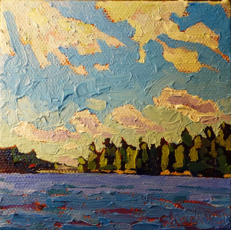
 I was canoeing on Long Reach in the clearing behind a cold front. The high cirrostratus cloud were the last vestiges of the cold front. Meanwhile the chillier northwesterly winds in the cold air mass were beginning to have their impact. Streets of turbulent stratocumulus clouds were developing as the subsidence in the wake of the cold front subsided - so to speak. The sun was still high enough in the sky to give daytime heating and generate the low cumulus. These cumulus clouds align themselves along the wind direction in helical bands that nest together in wind parallel streets in the earth's boundary layer.
There is a bit of cloud iridescence in the higher cirrostratus.
This is only 4x4 inches - another small piece of fun with lots of paint and texture.
No comments:
Post a Comment